Accueil > plongée > cartes des profondeurs des mers
 cartes des profondeurs des mers
Publié le 23 octobre 2024, dernière mise-à-jour le 15 novembre 2024, > 8 visites, >> 165987 visites totales.
Je conseille pour l’instant opencpn , opensource, libre...
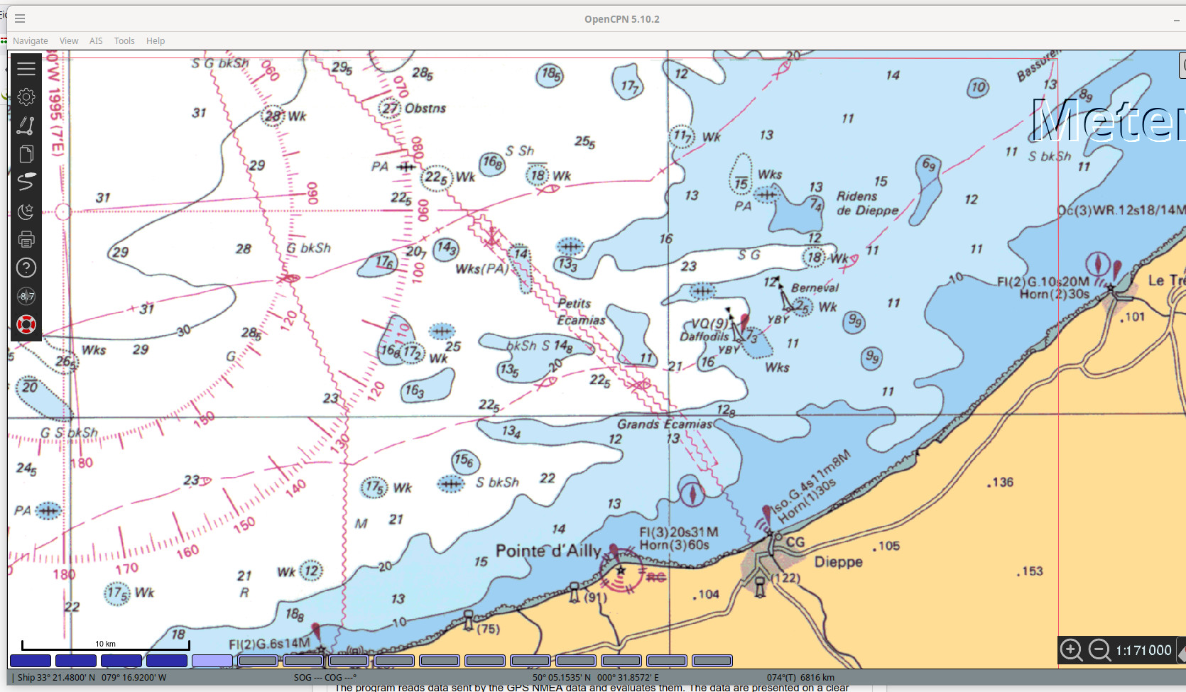
opencpn
Téléchargement classique sous linux : apt-get install opencpn
- OpenCPN
- Display the ships position on the chart
- Create Routes
- Operate the autopilot
- Display AIS signals
OpenSeaMap
http://openseamap.org/
Bienvenue dans OpenSeaMap ! OpenSeaMap -dans le prolongement du concept d’OpenStreetMap- a pour objectif d’ajouter et de présenter de manière utile et agréable des informations nautiques et touristiques susceptibles d’intérésser les plaisanciers. Ces informations peuvent être des balises, des bouées ou autres marques de navigation, des informations portuaires, des adresses de commerces liés au domaine nautique, shipshandlers, magasins d’électronique de marine ou chantiers de réparation navale. Cela concerne aussi les bars, restaurants ou tout autre sites d’intérêt pour un marin.
- WinNav/GPS-32
The program reads data sent by the GPS NMEA data and evaluates them. The data are presented on a clear screen. The program can receive data from GPS and send to GPS.
- GPSInfo
GPSInfo is a program that allows you to store information (POI’s) to a GPS location
can.
By connecting the GPS, or in connection with GPS32 you are the POI’s at
Reaching the position shown. - Logbook
Perform a fully automated logbook.
Let’s calculate the fuel consumption on the log. - TCP-Monitor
Receiving a screnshot from GPS 32 over the network.
The position is indicated by a crosshair.
Ideal for display on the control booth monitor. - WinNav-Monitor
Receiving a screnshot from GPS 32 over the network.
The position is indicated by a symbol.
Ideal for display on mobile phone or tablet.
This module consists of only a single HTML page that can be viewed with a WebSocket enabled browser. - SeaClear
Displays the ships position on the chart (with the GPS signal)
Displays position, speed and course
Log, Triplog, running hours
depths, wind direction and force
- oziexplorer
OziExplorer allows you to work with maps on the computer screen that you create from scanned or digital maps. Ideal for planning trips for boating, 4 wheel driving, flying, hiking etc and as a real time navigation - gpxmate
GPSMate ist ein kommerzielles Navigations-Programm zur Anzeige von Karten auf PDA, PNA, Lowrance-Endura.